Global Initiative
Tree species diversity,
from above.
Building the first global database for tree species annotation using high-resolution aerial images and deep learning.

Catalogue
Our products, ready to explore.
Tree species
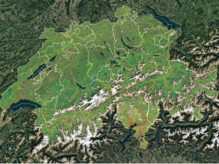
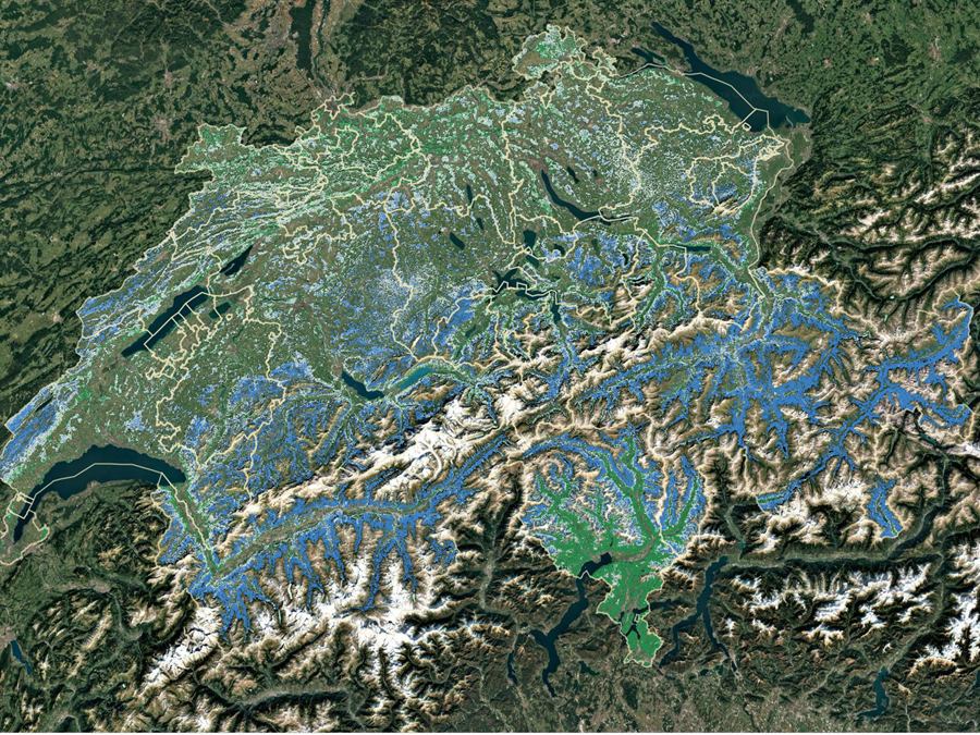
Tree species composition
A 30 m national map resolves continuous basal-area composition of main tree species in Switzerland.
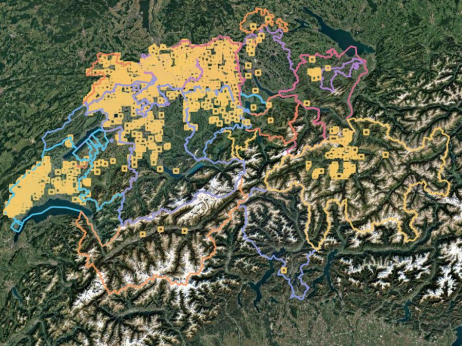
Individual tree annotations
Individual tree crowns annotated by species across Swiss sites, paired with high-resolution aerial imagery.
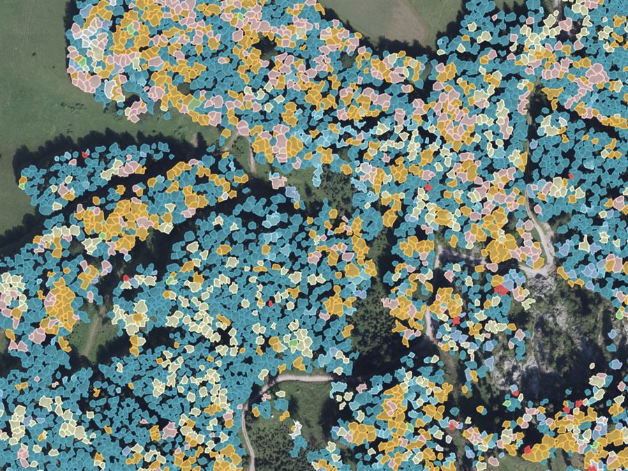
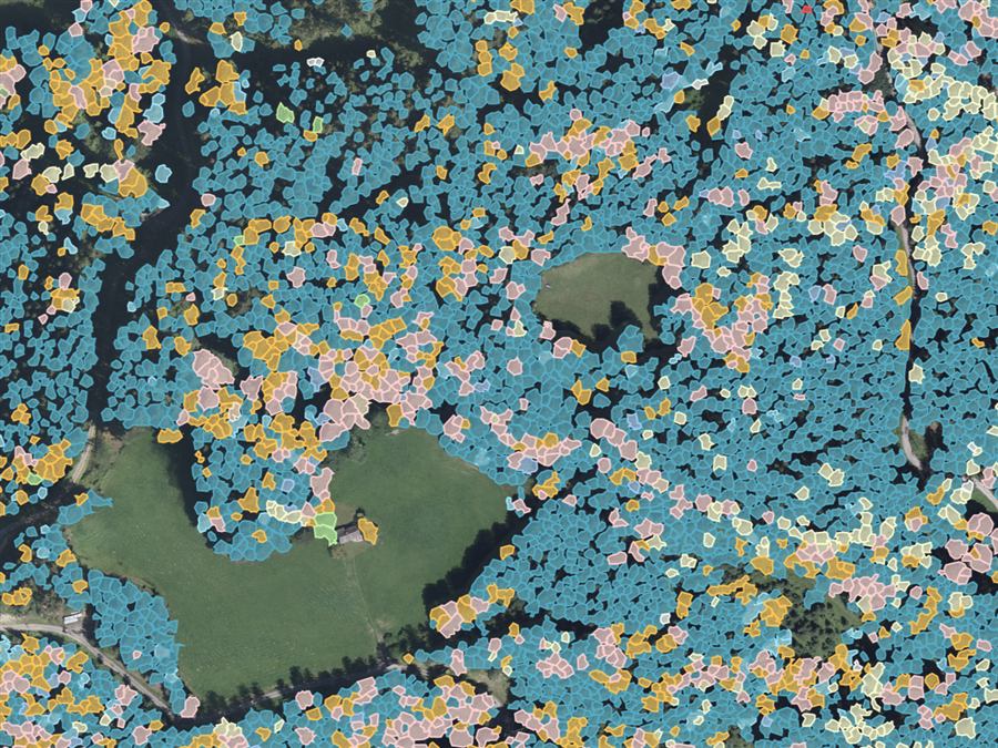
Austrian tree species
Species-level annotations across the Eisenwurzen forests in Austria, built for training and benchmarking vision models.
Forest health
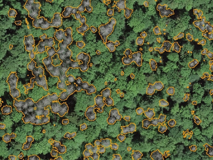
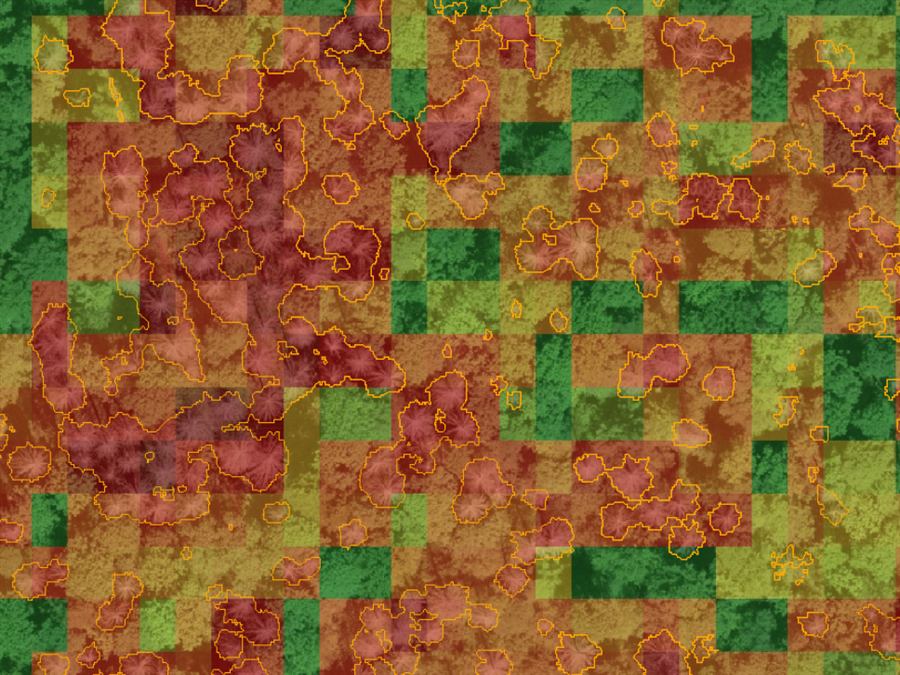
Swiss standing deadwood
Nationwide mapping of standing dead trees, a key indicator of forest health and biodiversity.
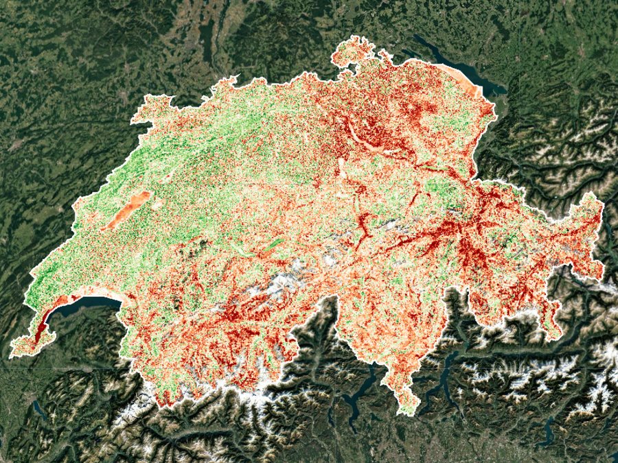
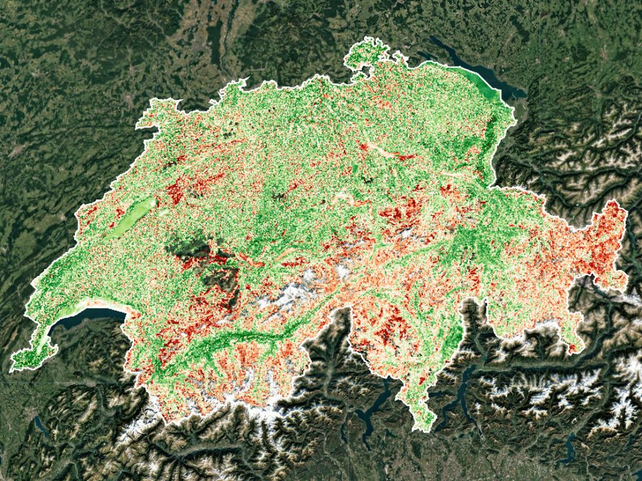
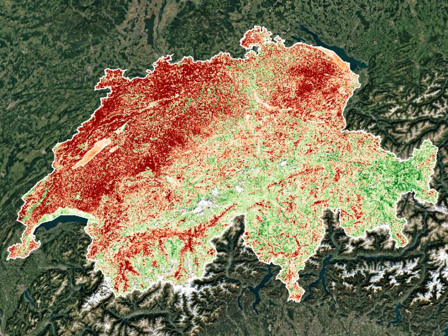
Vegetation condition
Monthly Sentinel-2 indicator showing where Swiss vegetation is doing better or worse than its long-term average.
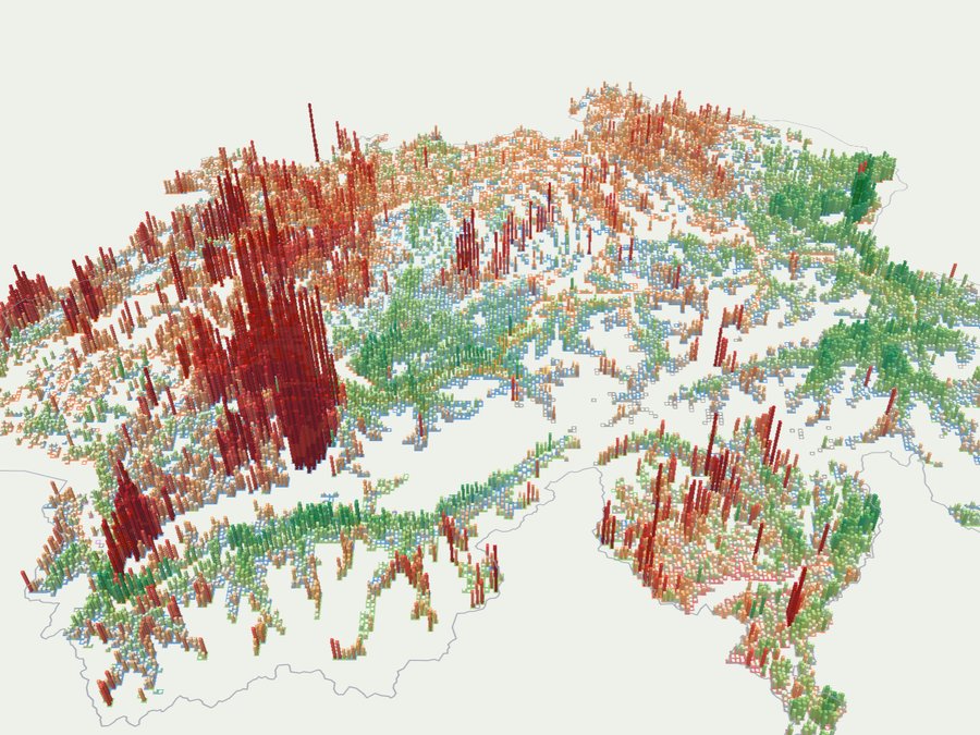
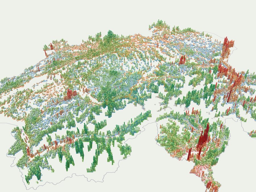
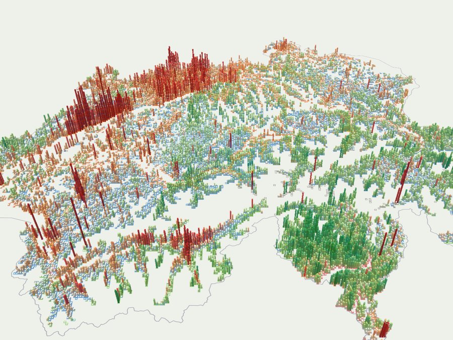
Swiss species condition
Tree species distribution crossed with monthly vegetation condition: where each species grows, and how it is doing there.
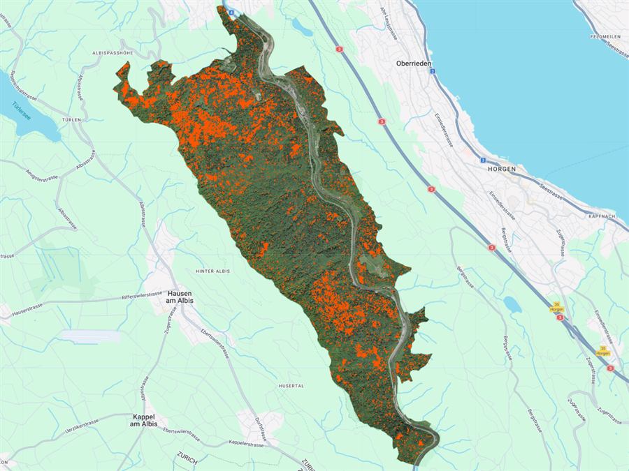
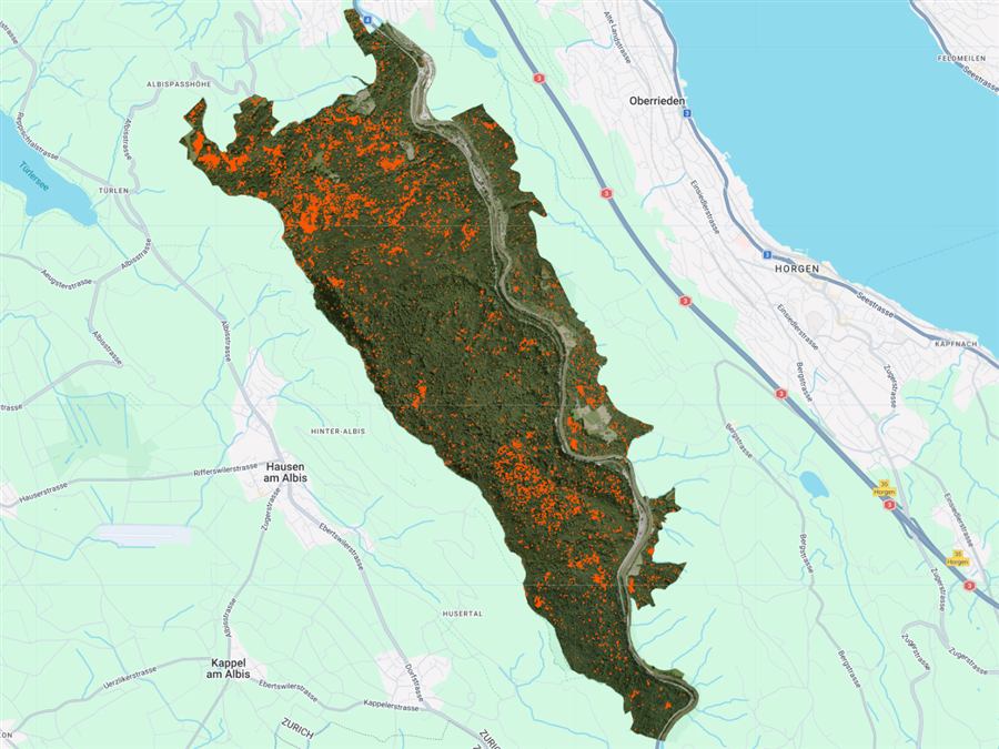
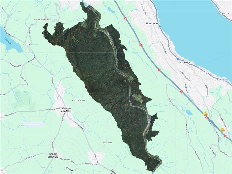
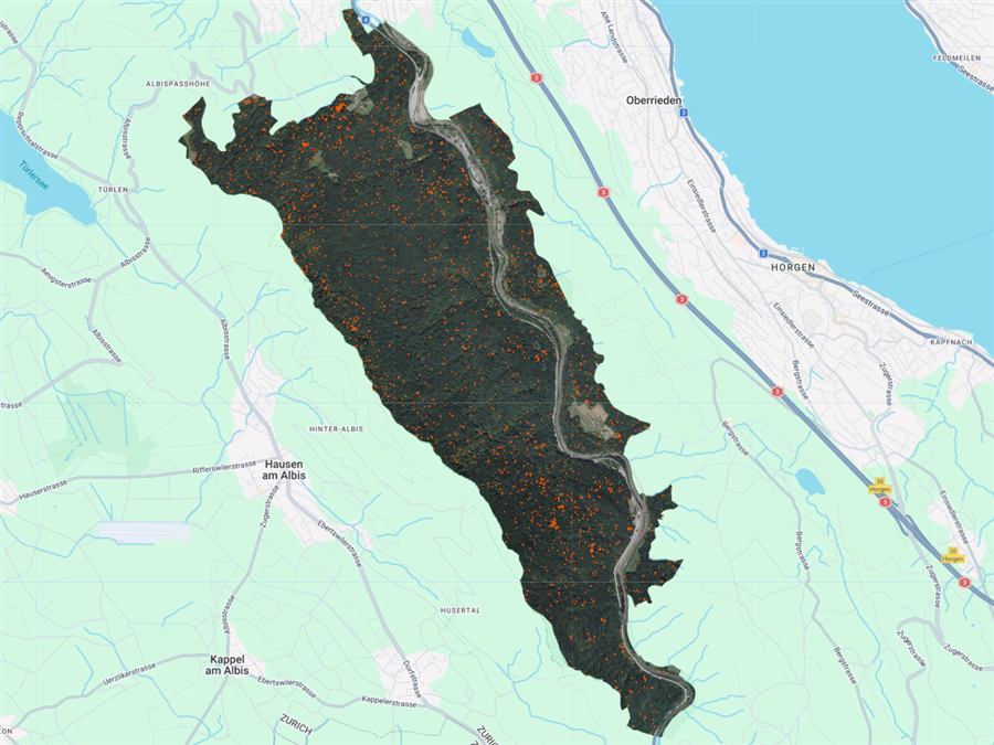
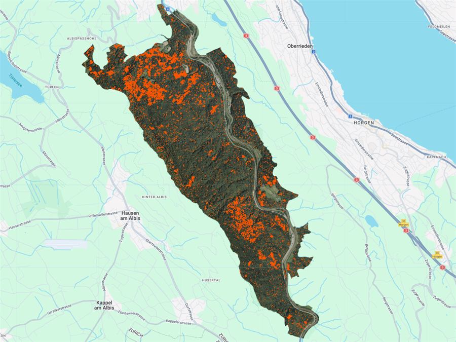
Dead trees (2014-2024)
Deep-learning detections of dead trees in Sihlwald across a decade of aerial imagery, filterable by confidence and size.
Railway corridor watch
Forested stretches beside railway tracks, ranked by vegetation condition to plan inspections.
Forest fire
What we're building
Global Database
A global database for tree species and tree mortality annotation paired with high-resolution aerial and drone imagery from sites worldwide.
Computer Vision Models
Robust and generalizable deep learning models for individual tree species identification in sub-meter resolution aerial imagery.
Biodiversity Monitoring
Advancing forest mapping and biodiversity monitoring through AI-based solutions that scale across continents and ecosystems.
Data Call
400 species so far.
Add the next one.
Each point is a species already in the database. The nearer the centre, the more datasets record it. The open rim is where new species land.
Academic & Research Partners








Attribution
How to Cite
If you use the TreeAI dataset or any contributing sub-dataset in your research, please cite the following.
Full record, version history, and file downloads on Zenodo.